Posting on Tuesday – from home in San Diego County – about Monday, June 12th
Exeter – Oildale – Fort Tejon – Pyramid Lake – California Water Project – Antelope Valley – Home
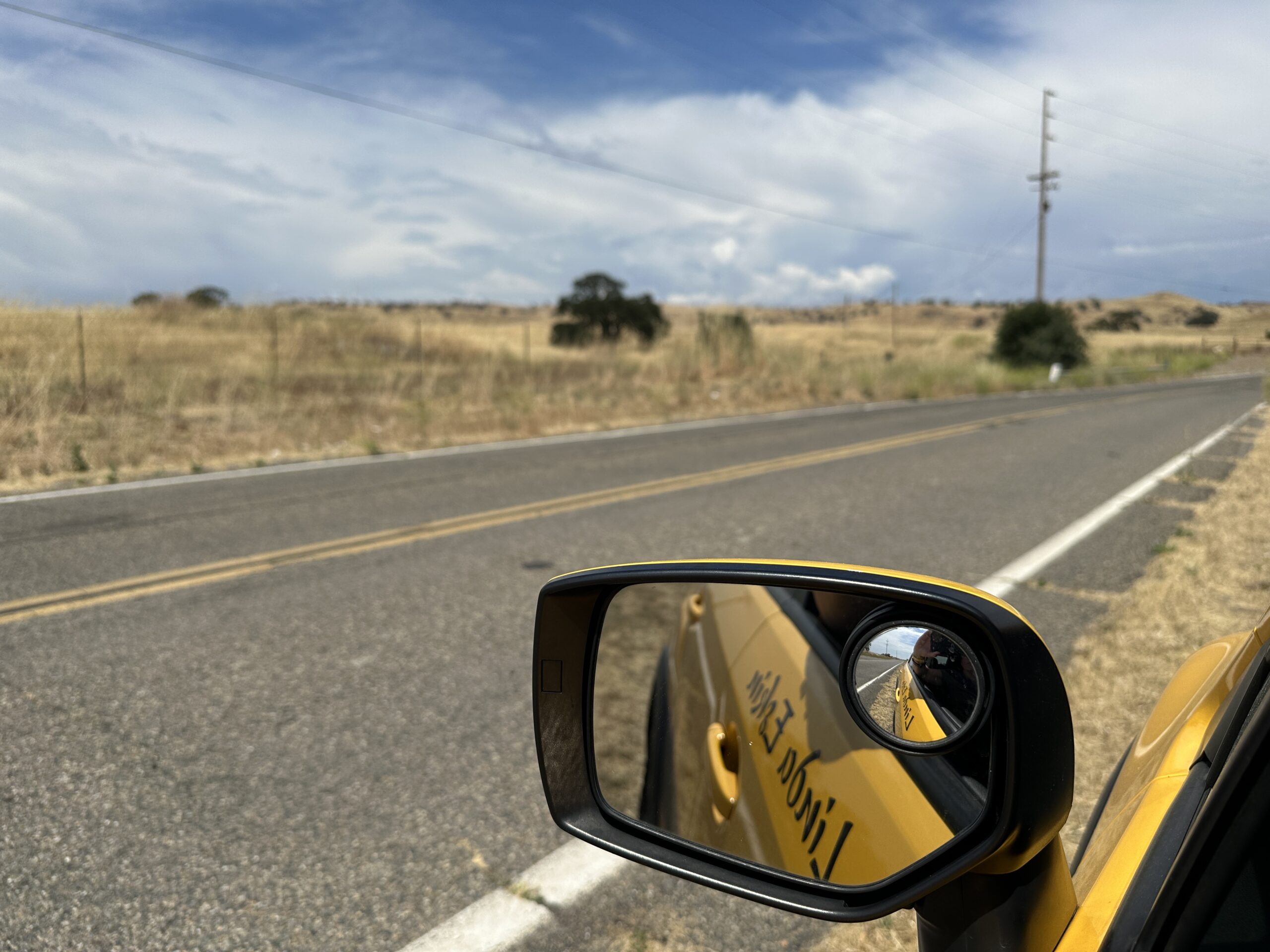
NOTE: For some reason I can barely access my site from my phone tonight – and my phone is where the photos are. Thank goodness this didn’t happen in the middle of my trip! I have an long day tomorrow, then two days of solid activity and will likely have to get back to this over the weekend. So here’s the mostly-image-less version of this post. (I borrowed the main image from another day’s post.) My apologies.
On Monday I drove home from Exeter, down Highway 65 to 99 and then Interstate 5. After seeing Fort Tejon and the Vista Del Lago visitor center at Pyramid Lake I headed east through the Antelope Valley, over Cajon Pass, and finally south on I-15 back to San Diego County.
Writing Down the Bones
For the latter part of the drive I was in familiar territory – just driving, not touring. I’d been listening to audiobooks or music for most of the trip, but picked the last few hours of Natalie Goldberg’s collector’s edition of her brilliant first book, Writing Down the Bones – Freeing the Writer Within for this final leg of my journey. In this version she not only reads the book, she also adds commentary from her decades-later perspective, plus an interview at the end. Good choice. The whole book is worth reading and re-reading (as I have done many times). It’s part memoir, part mentoring, and part pep-talk. That part of it felt particularly appropriate for coming home, ready to focus on my work.
But the earlier part of the day still included some some new sites — places I’ve driven past for years, and only now made time to stop and see.
My Aiki Road Trip 2023
This post is part of a series: My Aiki Road Trip 2023. For about two weeks I’m sharing my adventures and photos on my way to the Aikido at Granlibakken retreat at Lake Tahoe, insights and fun during a week of great Aikido training with dear friends, and the trip back. I’m driving through the Mojave Desert, San Joaquin Valley, California’s Gold Country, and High Sierra, exploring the historic water situation — rivers, reservoirs, dams, flooding, and Tulare Lake, plus gold rush history, and amazing nature and scenery.
At the bottom of each post I include resources for further exploration about each day’s adventures – books, videos, maps, links, images, etc.. For the trip in general, here are more California History Resources for Road Trips.
I mostly posted these from my phone, with limited Internet access. There may be typos and glitches. I’ll come back to fix them later. You can email me at grabmywristaikido@gmail.com.
Down the San Joaquin Valley
My first stop was to be Fort Tejon, just a bit up Tejon Pass, often called “The Grapevine,” at the south end of the San Joaquin Valley.
Exeter, California
I started the morning in the quiet little town of Exeter. It’s off the beaten path, and not at all touristy. People live and work there. No rock shops selling gaudy slabs of dyed stone. No signs promising this or that wonder just ahead. It’s a nice place – neat, comfortable, normal. If you’re passing through the area this is a great place to stay.
I let myself sleep in a bit because I had a long day of driving ahead and wanted to be well rested. Checkout time at the Kaweah Motel was 11 AM, and at 10:59 I was just grabbing my cooler, water bottles, and purse from my room, the last things to go in the car. I stopped by the office to turn in my key and thank them for a nice stay. At a little family-run motel like this it feels like one should say goodbye.
CA 65, the “All America City Highway,”
Highway 65 goes down the eastern edge of the San Joaquin Valley It was a nicer road than I expected, and goes through some beautiful countryside – vineyards, orange groves, and pastureland. There are a few small towns, and one — Porterville — big enough to have a Home Depot. I stopped a few times to get photos of the hills and groves.
At one point I crossed the Friant-Kern Canal. You might remember Friant Dam and Millerton Reservoir from day two. I would have loved to have gotten a photo of it, but didn’t want to turn back. It’s challenging to see when you are approaching a canal because, unlike rivers, there’s no change in terrain or vegetation. Trees don’t grow alongside canals. There are no riparian zones. There’s just a little bridge all of a sudden and bam, you’ve missed it.
Oildale
Just north of the city of Bakersfield there are miles of industrial landscape dedicated to pumping oil from the ground. The area is aptly called Oildale, and since 1899 has been a major oil-producing region. It currently accounts for about 10 percent of the United States oil supply.
Fort Tejon
Something …
This quote is a bit long, but captures the sense of the place so well:
“The last few miles the plain had risen rapidly, until the mouth of the canyon where we were had an elevation of over a thousand feet. The country had improved on this slope, with some grass, while on striking the mountains all was green. All changed, and what a relief! We had ridden on this plain about three hundred miles!
Friday, April 17, we got up, put on our wet clothes, got some breakfast, saddled our wet animals, and started. It still rained some. We came up the canyon four miles to this place, Fort Tejon. The canyon is wild and picturesque and rises rapidly. At about four miles from the entrance it widens into an open, wide valley, and here, surrounded by mountains, is the old Fort Tejon. A pretty grassy valley, at an altitude of about three thousand feet above the sea, covered with scattered oaks of venerable age and size and of great beauty, with mountains rising around to the height of perhaps seven thousand feet, the valley and hills green—picturesque, beautiful, quiet—such is the site of old Fort Tejon.
The buildings, some fifteen or twenty, are neatly arranged, all built of adobe, but many are already falling to ruin. The old stables are crumbling, the corrals are down. After Uncle Sam had located here and had built buildings costing at least $60,000 to $80,000, spending here in all over half a million, of course it turned out that it is on a Spanish grant, and is private property. Under the virtuous reign of Buchanan the proof was got, and the grant was confirmed to a political friend—now a rank Secessionist—a Mr. Bishop, who got the buildings all built to his hand. As there was no further use for the fort, it was vacated two or three years ago.
Here we remained three days. One day we climbed the mountains near and got a grand view of the surrounding region—the coast ranges, the Sierra, the great valley and plain on the north, the distant desert on the east. …”
Up and Down California in 1860-1864: The Journal of William H. Brewer
I am sure the huge old oaks I saw there yesterday were the same that Brewer saw in early May, 1863. I feel a sort of awe and connection standing the same places he would have stood, under those same trees. I visited a lot of the places that he did, but they had changed so much, or encompassed such a large area that I couldn’t be sure of where exactly he’d been. But he came to this former fort in this high valley after a long trek south, and encountered it fundamentally the same state I did – empty and quiet in the spring.
After Fort Tejon I wanted to see the visitor center at Pyramid Lake. I was aiming to be home at a reasonable hour (before 9 PM), so that meant I couldn’t dawdle too long.
Pyramid Lake
I took a few detours on the way to the visitor center, first to take photos of a maturing thunderstorm over the Sierras to the east and the huge pipes conveying water from the California Aqueduct up and over the Tehachapi Mountains, and later partway down to Pyramid Lake itself, thanks to taking the wrong exit.
Vista del Lago, and the California Water Project
It’s appropriate that my last stop was the Vista Del Lago (“view of the lake”) Visitor Center at Pyramid Lake. It’s essentially a museum presenting the history and engineering of the California Water Project, so much of which I’d seen up close over the past two weeks. It’s a pretty well done facility, with lots of information. More high-level introduction than I was hoping for (“Did you know our water starts out as rain and snow?”). Much of it was presented in an overly clever way, to the point some of the exhibits required an explanatory “Exactly what am I looking at?” kind of clarification. I probably need to just spend more time on WaterEducation.org if I want to learn more.
Antelope Valley
I will go miles out of my way to avoid driving through Los Angeles, especially at rush hour. So instead of continuing south on Interstate 5 I turned back and dropped into the Antelope Valley, heading east along the southern end of the valley on Highway 138. It’s a pretty drive, but a dangerous road. The website DangerousRoads.org says of it: “State Route 138, known as the “Highway of Death,” also demands mention. Connecting I-15 and I-5 across the western Mojave Desert and San Gabriel Mountains, this highway has a disconcerting record of fatal accidents, …” But there are Joshua trees for miles, and I finally got my canal photos, this time stopping in a couple of places to see the California Aqueduct itself.
Coming Home
Natalie Goldberg wrapped up Writing Down the Bones just as I approached my exit. Michael, who had made me a delicious dinner of spaghetti and vegetarian “meat” sauce, was waiting out front when I arrived. Before shutting off the car I noted how far I’d driven since leaving two weeks earlier: 1,878 miles. The cats had noticed my absence. Charlie was exited to see me, and insisted on being petted right away. Minion seemed to think I was a zombie, and was pretty freaked out by my reappearance but got over it by this evening.
What’s Next?
Now that I’m home it’s right back to the usual things: writing, training at the dojo, feeding the cats, having dinner with Michael. Plus unpacking, of course – I’m about halfway done with that.
I taught my Focus on Fundamentals class this evening, this time playing with techniques where we encourage our partner (uke) to use us for support, and then drop that support away, like a trapdoor opening suddenly. These can be very soft, easy techniques, and they exemplify the not-fighting aspect of Aikido. Our dojo has a children’s Aikido Mini-Camp coming up on Thursday and Friday, where I’ll be teaching one session, and also creating a Quiet Corner for kids who are feeling overwhelmed or just want to take a break.
My first priority with writing will be to get Aikido to Zanshin completed and out into the world. Then it’s on to the book about fitness I’ve been wanted to write for years.
Road trips are fun and adventurous, but there’s no shortage of fun and adventure here at home, either.
Thank you for joining me these past 13 days. I hope you’ll hang around and keep reading. There are posts here since 2009, with many more to come. I hope you enjoy and benefit from them.
Further Exploration for Today’s Adventures
A few more links, if you want to dig further:
If you’re interested in learning more about water in California, Check out the Water Education Foundation’s “Dams, Reservoirs, and Water Projects.” It’s a great starting point for their huge website, with links to lots more detailed information.
Also be sure to check out my post, California History Resources for Road Trips, where I share several excellent books/audiobooks, tours, videos, and websites.
About the Author — Linda Eskin
Linda Eskin began practicing Aikido in 2009, at age 46. From the beginning she was inspired to explore how Aikido is taught and learned. In addition to mentoring adults, and now teaching a weekly Focus on Fundamentals class for students of all ranks, she assisted in the children’s programs for over eight years.
Linda loves Aikido both from the technical perspective, and as a practice of awareness and embodiment. She is completing her forthcoming book, Aikido to Zanshin – 26 Essays on the Martial Art of Peace.
Linda’s passion is encouraging people to begin, and supporting new learners of all ages.
Linda trains with Dave Goldberg Sensei at Aikido of San Diego, in California, and holds the third black belt rank, sandan.


