Posting on Friday morning – from Brownsville – about Thursday, June 8th
Retreat ends – drive down from the mountains – Empire Mine – Nevada City – a pretty drive – Brownsville
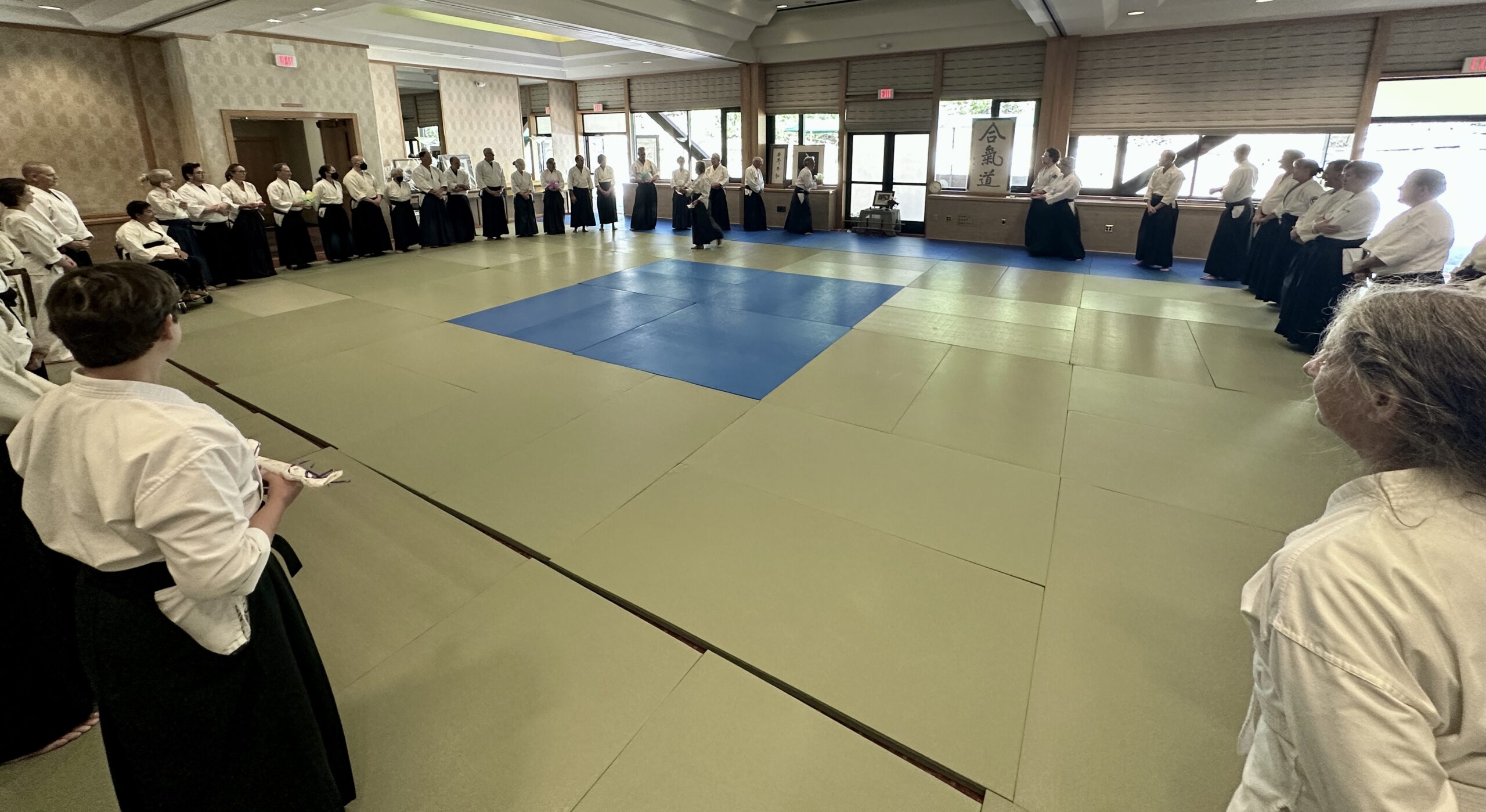
The Retreat Ends
Thursday was the last day of the retreat. That’s always a strange combination of wanting to linger with friends, and being eager to head out to whatever is next. We had three short classes in the morning, then checked out of our rooms, and regrouped for lunch. I was aiming to get to a state park that closes at 5 PM, so I resolved to be prompt about taking off after a quick bite.
For the classes, each of the three main teachers, Craig Fife, Kimberly Richardson, and Michael Friedl, taught for about 30 minutes. Some interesting technical stuff, and some reflecting on the week we had just experienced.
What Kimberly Richardson Sensei said especially hit home for me. She said that when we were on lockdown for the pandemic, and unable to train together, she worried that she might never see some of us again.
Indeed. This was my first time seeing this group since 2019. It felt good to be back. Unfamiliar, cautious, … A relief.
Relief is a strange emotion. Not as straightforward as joy, although I certainly felt joy at seeing all these friends again. It’s qualified joy. It’s joy tinged with all the fears and “what ifs” that we did our best suit to suppress for the past three years. It’s joy at our own good fortune while being acutely aware of so much loss suffered by others. Relief is the long-term, slow-motion version of the shaking, crying stress reaction we can have after a crisis is over, after we have been brave, rescued others, escaped… When the realization hits of how it might’ve ended differently. It’s not simple. It’s not “Woohoo, we’re fine, let’s go to lunch!” It’s not quite trustworthy. Can we really believe that we are okay? Is it actually over? Can we relax? Relief has a complicated, heavy side.
And then, in the circle at the end of training, Molly Hale, who has a beautiful voice and an even more beautiful heart, led us in singing Happy Trails.
Who cares about the clouds when we’re together?
Just sing a song, and bring the sunny weather.Happy trails to you,
Dale Evans, Happy Trails
Until we meet again.
“Until we meet again…” Knowing as we do now the fragility of a casual “See you next year“ adds a certain poignancy to this last line of the song.

But the next thing awaits, and the rest of the day was simpler. I ate my crispy french fries and cool cole slaw with friends, headed out more or less on time, and drove west, down into the foothills, through thunderstorms, complete with lightning, thunder, and big, splatting raindrops.
My goal was to get to Empire Mine State Historic Park no later than 3 PM. It closes at 5 PM, and I wanted to have enough time to see it.
Emigrant Gap
I had not planned to make any stops on the way, but scenic overlooks on highways usually have something worth looking at, so of course I pulled off at the one that promised a view of Emigrant Gap. This was a particularly perilous part of a route that people coming west in covered wagons took.
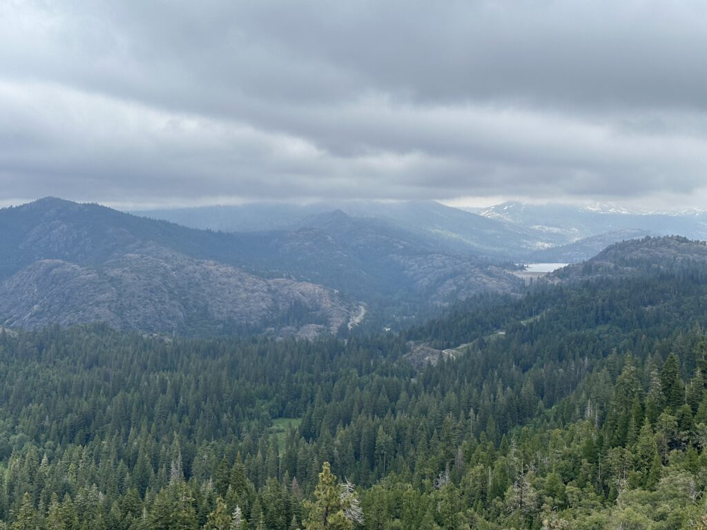
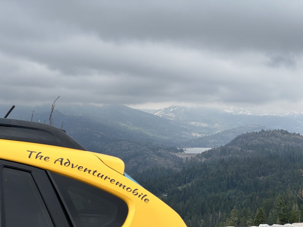
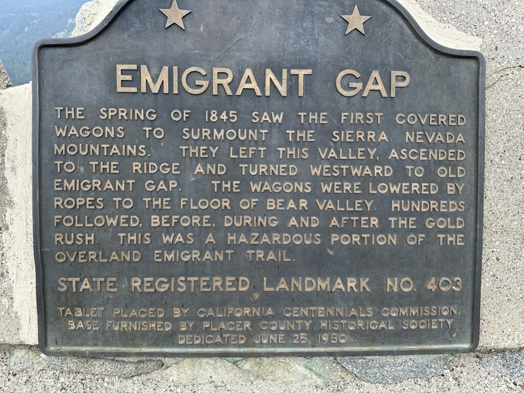
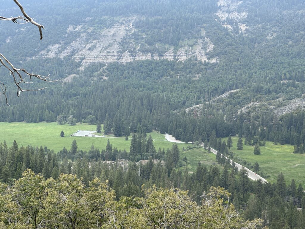
Can you imagine having to travel via a route where your wagon is lowered by ropes? We take our modern roads too much for granted.
My Aiki Road Trip 2023
This post is part of a series: My Aiki Road Trip 2023. For about two weeks I’m sharing my adventures and photos on my way to the Aikido at Granlibakken retreat at Lake Tahoe, insights and fun during a week of great Aikido training with dear friends, and the trip back. I’m driving through the Mojave Desert, San Joaquin Valley, California’s Gold Country, and High Sierra, exploring the historic water situation — rivers, reservoirs, dams, flooding, and Tulare Lake, plus gold rush history, and amazing nature and scenery.
At the bottom of each post I include resources for further exploration about each day’s adventures – books, videos, maps, links, images, etc.. For the trip in general, here are more California History Resources for Road Trips.
I mostly posted these from my phone, with limited Internet access. There may be typos and glitches. I’ll come back to fix them later. You can email me at grabmywristaikido@gmail.com.
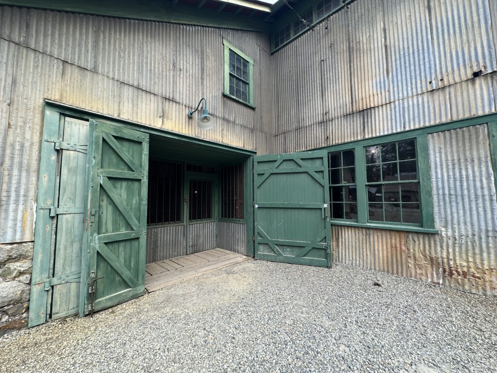
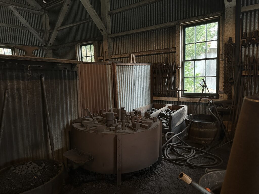
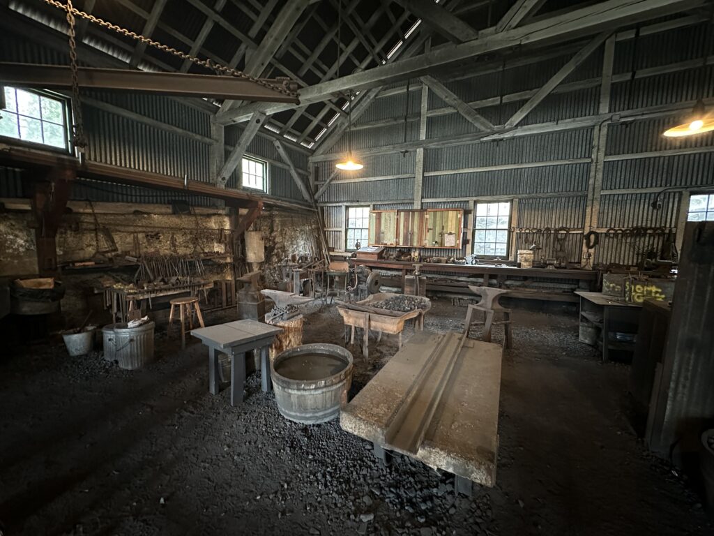
Empire Mine
The mine was easy to find, no thanks to the maps app on my phone. A whole lot of this area has no data service and often no cell coverage at all. Thank goodness for paper maps!
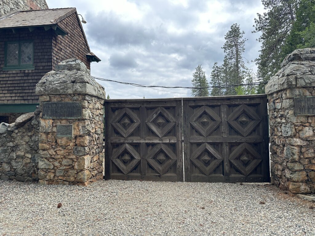
I arrived just a few minutes after 3 PM, so I had nearly 2 hours to see the park. That’s not enough time, as it turns out, but I did see a lot. The first thing I noticed was that the giant gates that I remember being the main entrance were now just part of a wall, and the entrance was through a visitor center.
Forty Years
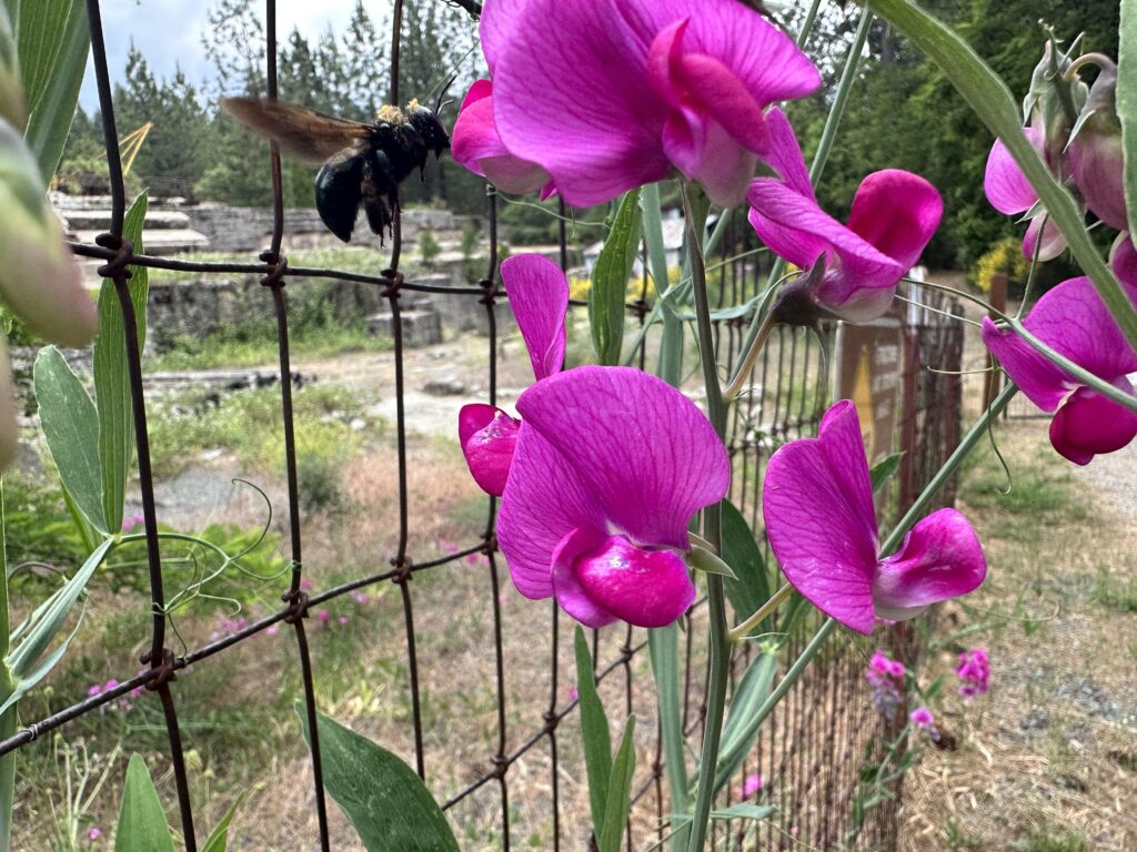
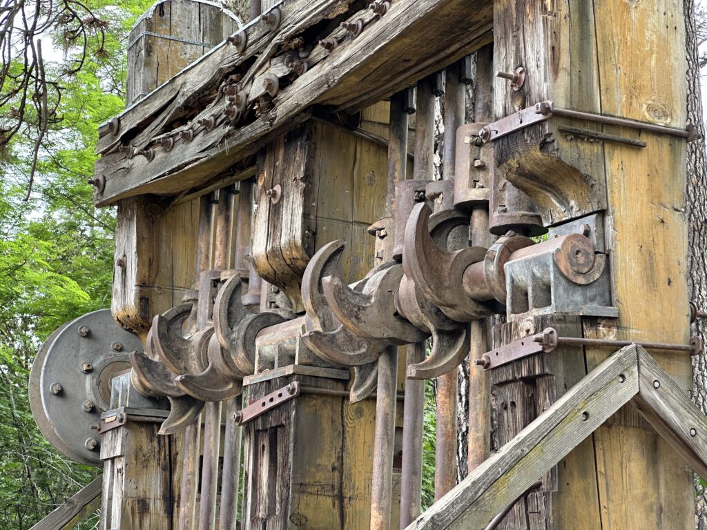
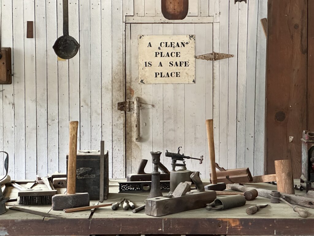
Some quick math reminded me that my last visit here was 40 years ago, so some things had changed. The sweet peas were as I remembered them, and the stamp mill. A couple of the buildings felt perfectly familiar once I was near them. I even remember the same sign on the same wall. I know I took these pictures before. I would love to find them and compare them with those from today.
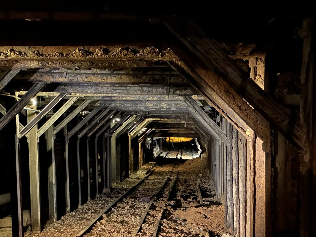
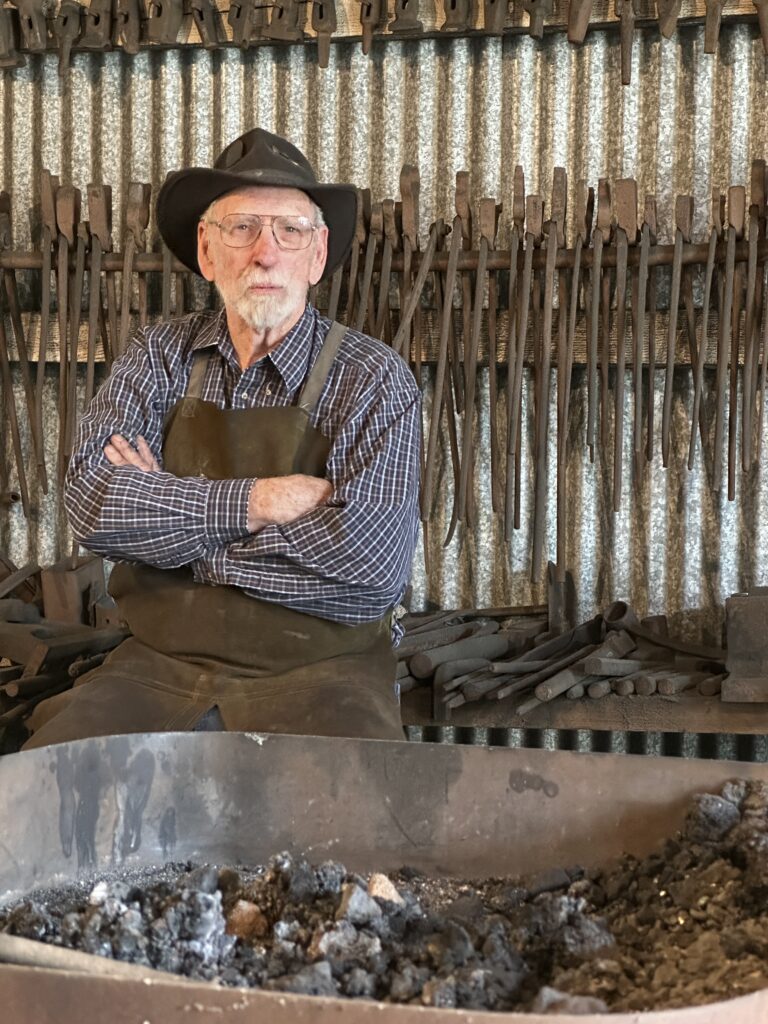
The entire place was nearly deserted. A Ranger, a few people on staff, and three or four other small groups of visitors. It was very quiet, like poking around and abandoned industrial facility with no one else around. So I was rather surprised when I heard someone say hello as I entered the blacksmith shop.
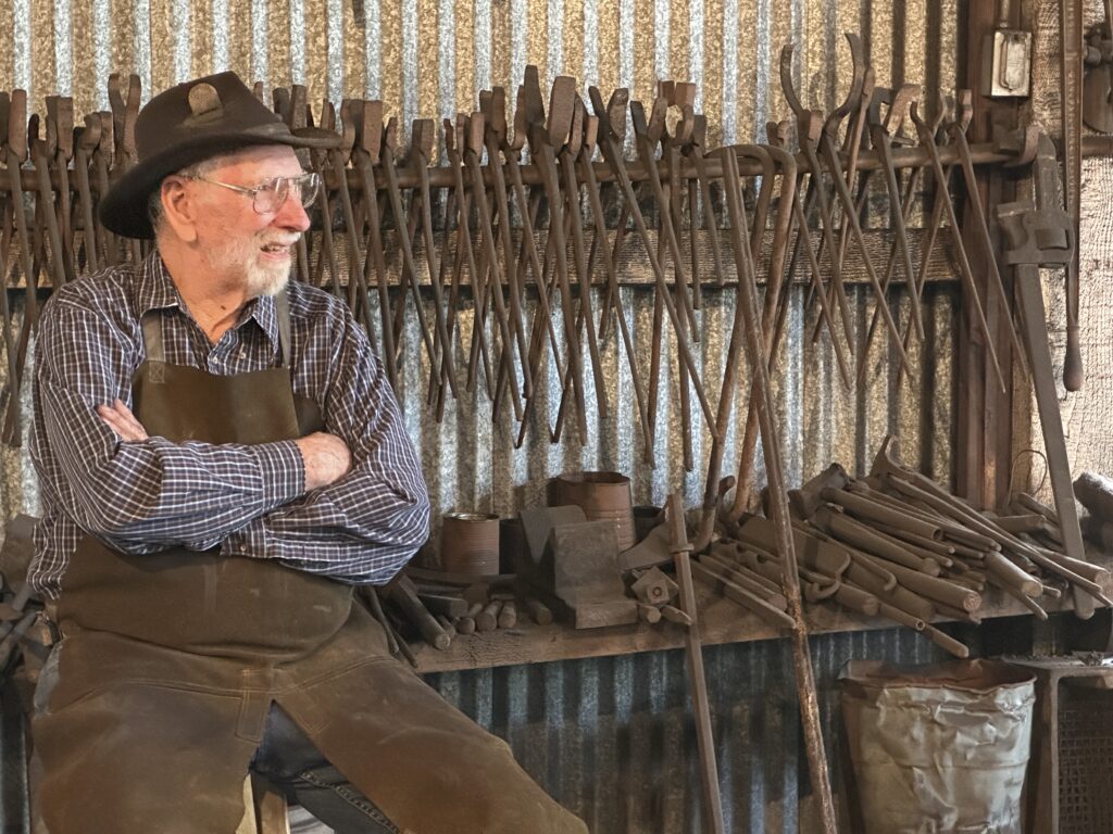
The Blacksmith
It turns out they have several volunteer blacksmiths who talk to guests and demonstrate their skills by making items for sale in the gift shop. This guy – whose name I forgot to get – was able to tell me a lot about the history of the mind, how they managed the mules that worked in the mine, and some general information about both of mine and blacksmithing.
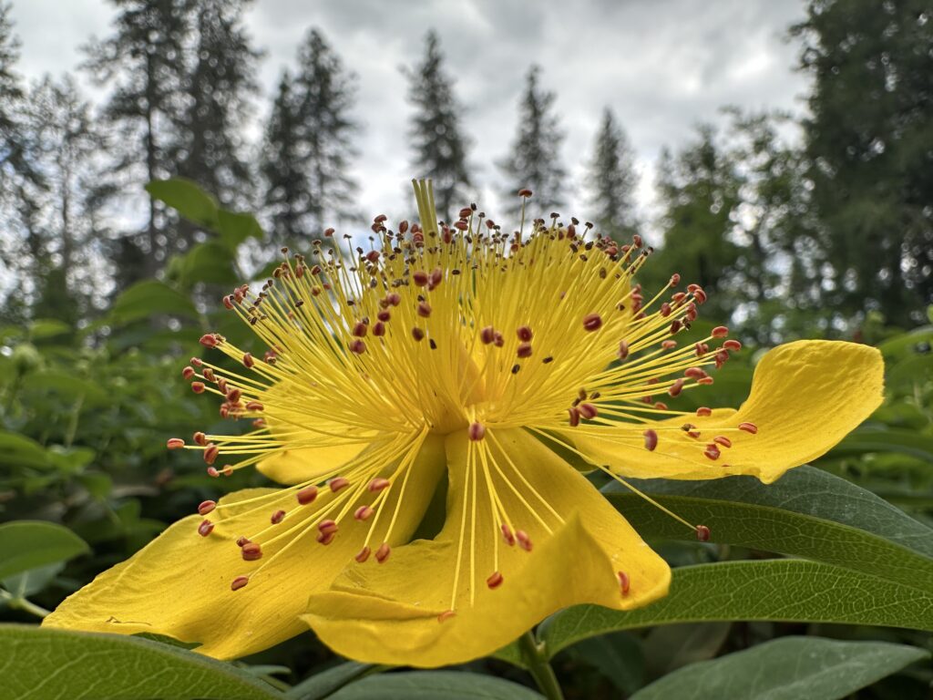
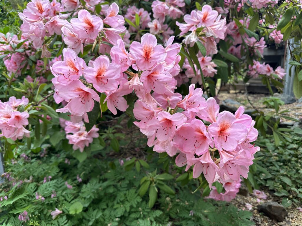
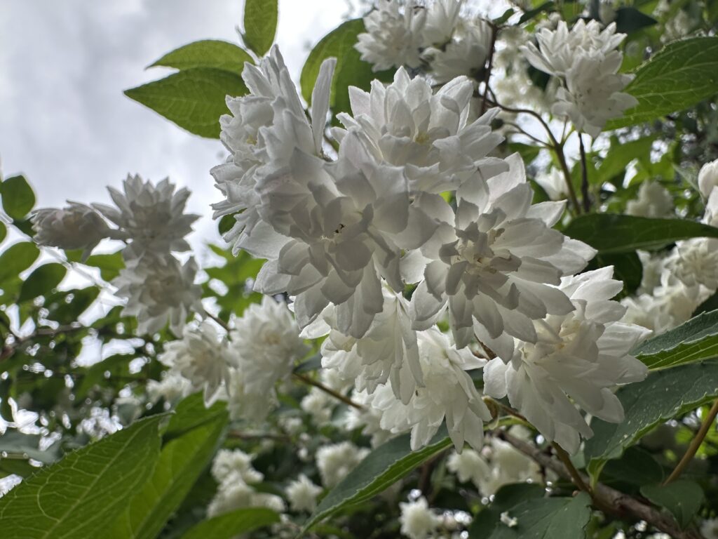
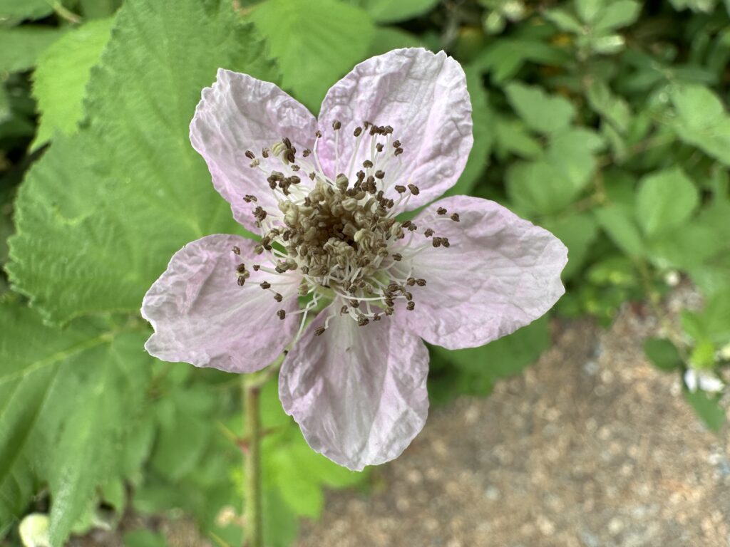
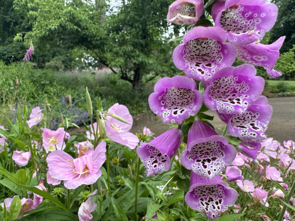
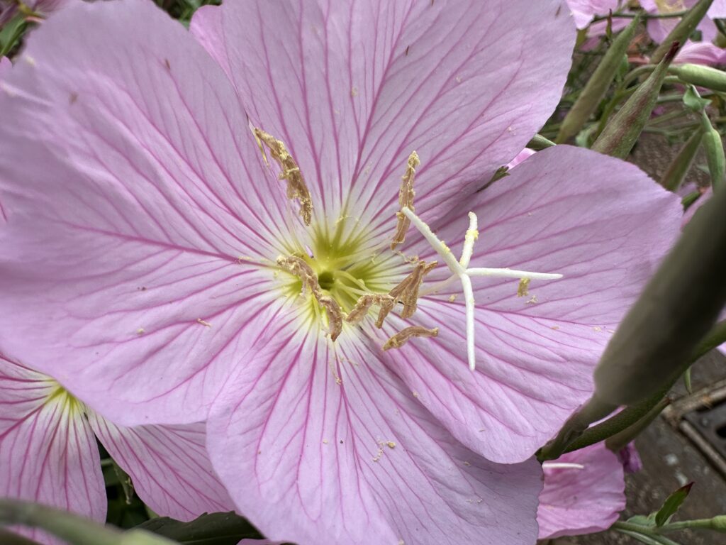
Flowers and Grounds
One part of the park I don’t remember paying much attention to 40 years ago, and I only walked through parts of it very quickly yesterday just before closing, was the grounds and gardens of the mansion on site. The flowers, at the park and everywhere in this area, were blooming. Here’s a quick look:
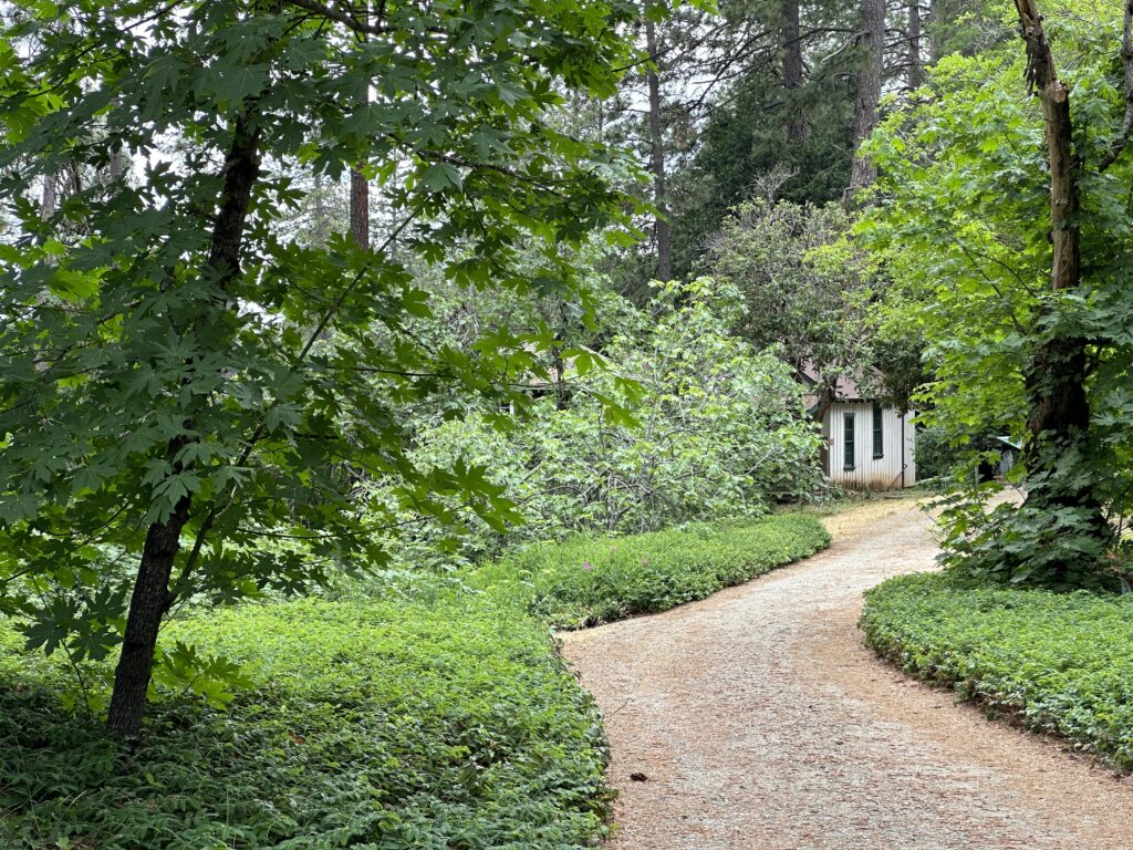
Nevada City
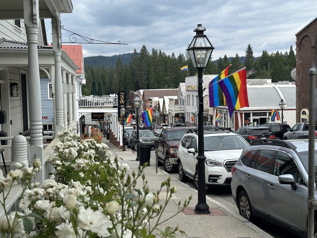
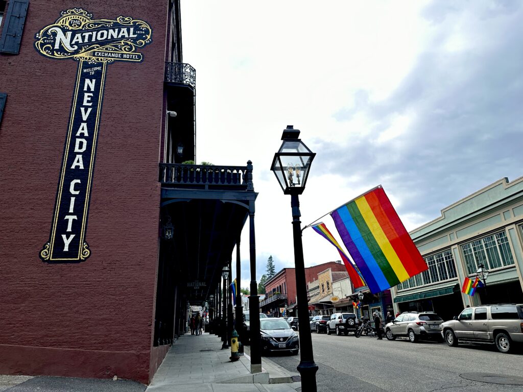
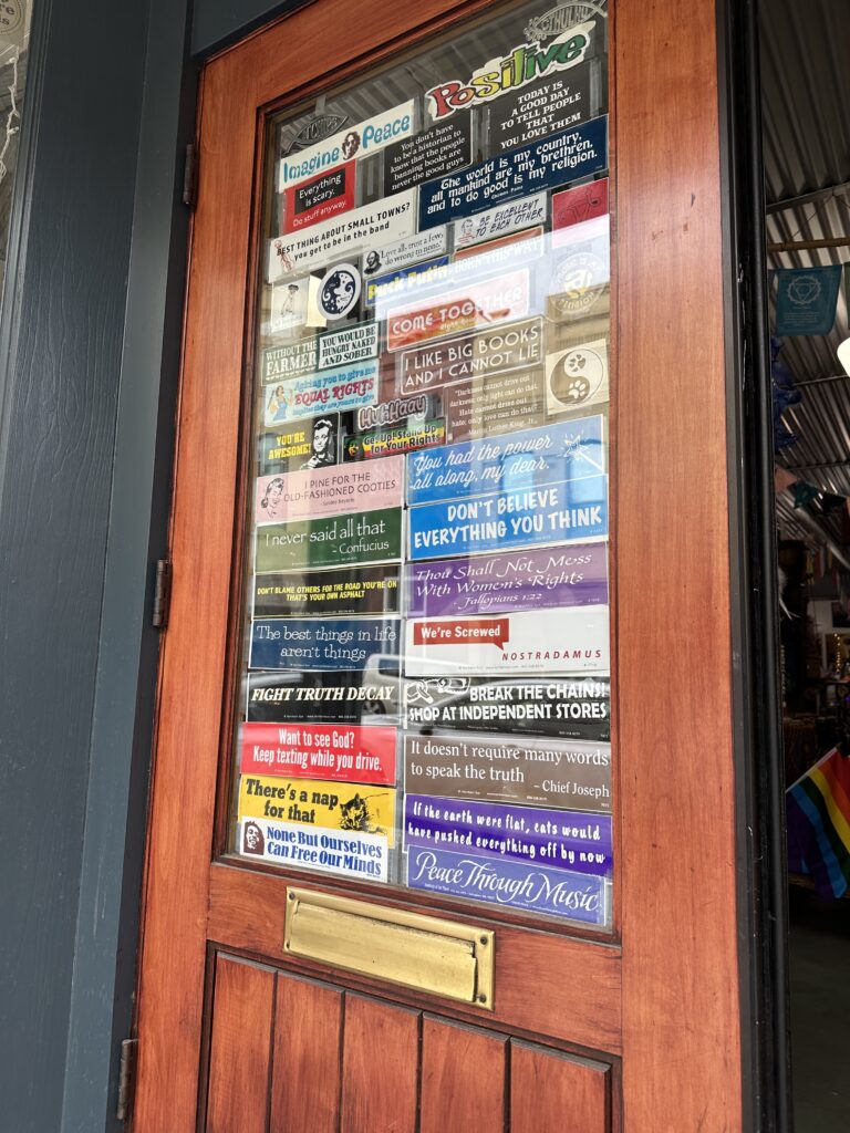
My next stop was a beautiful old gold rush town that is thriving today: Nevada City. It was the polar opposite of Virginia City — welcoming, progressive, vibrant, and open for business. My first not-so-subtle hint that this place was different was seeing rainbow flags festooning the entire main street.
I only had two reasons for stopping, first to just get out and look around because I had time, and that’s usually fun, and second to get some thing for dinner, since my hotel was going to be in a very remote area. I set my sights on finding gluten-free pizza.
I also hoped I might find someone who could tell me which route I should take to Brownsville – the boring highway, or the scenic route? I got very lucky on this account. I was talking with one of the shopkeepers , who asked me where I was heading. It turns out she has property up in this area, and was very familiar with the roads. She said the scenic route – Highway 49 heading north — was fairly perilous, and she would not recommend it. She said the highway was perfectly lovely, and also gave me a little side trip I could take through the tiny town of Smartville.
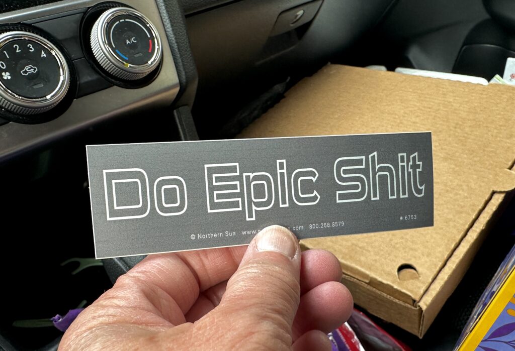
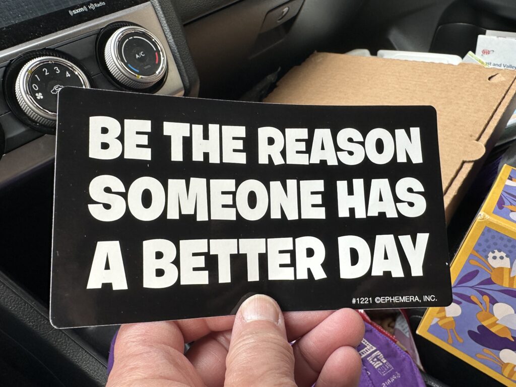
I really didn’t need any of the things sold in most of the shops, but I did finally find a creative little place that had some great stickers for cars, water bottles, etc. I got several, and am looking forward to figuring out where they should be displayed.
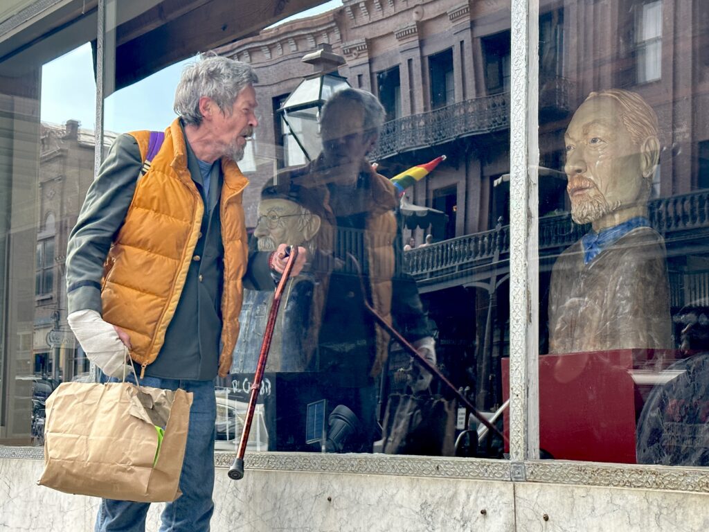
I think Nevada city may be the friendliest town I have encountered, maybe ever. One woman told me where I could find the pizza I wanted. At least five people stopped me to tell me they loved my blue hair. A group of possibly homeless, and certainly disturbed men were reasonably friendly, even the one cussing and shaking his cane at someone I couldn’t see. An artist in the area had created sculptures of some of the local characters, including him, and he was admiring his likeness.
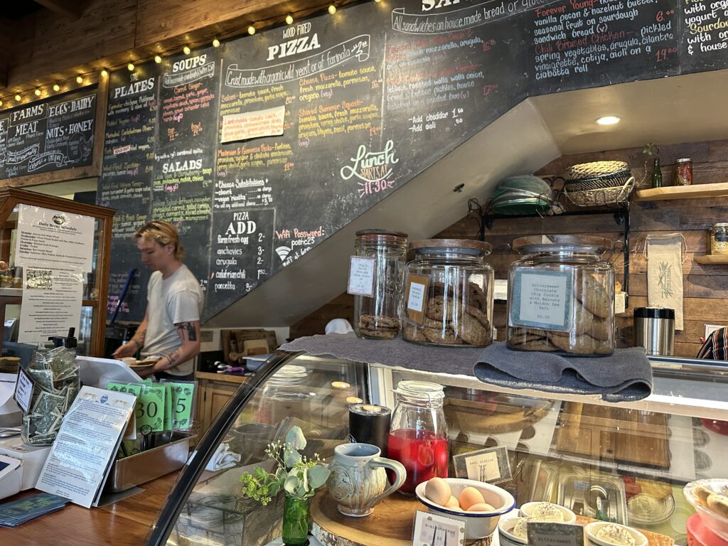
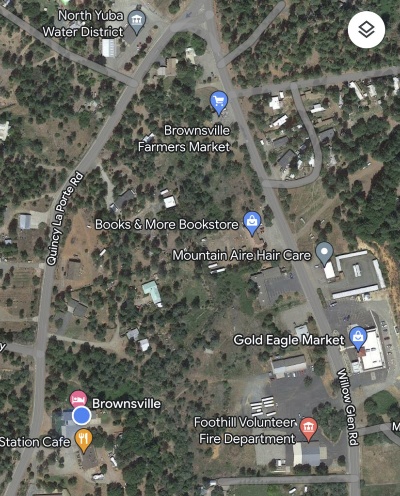
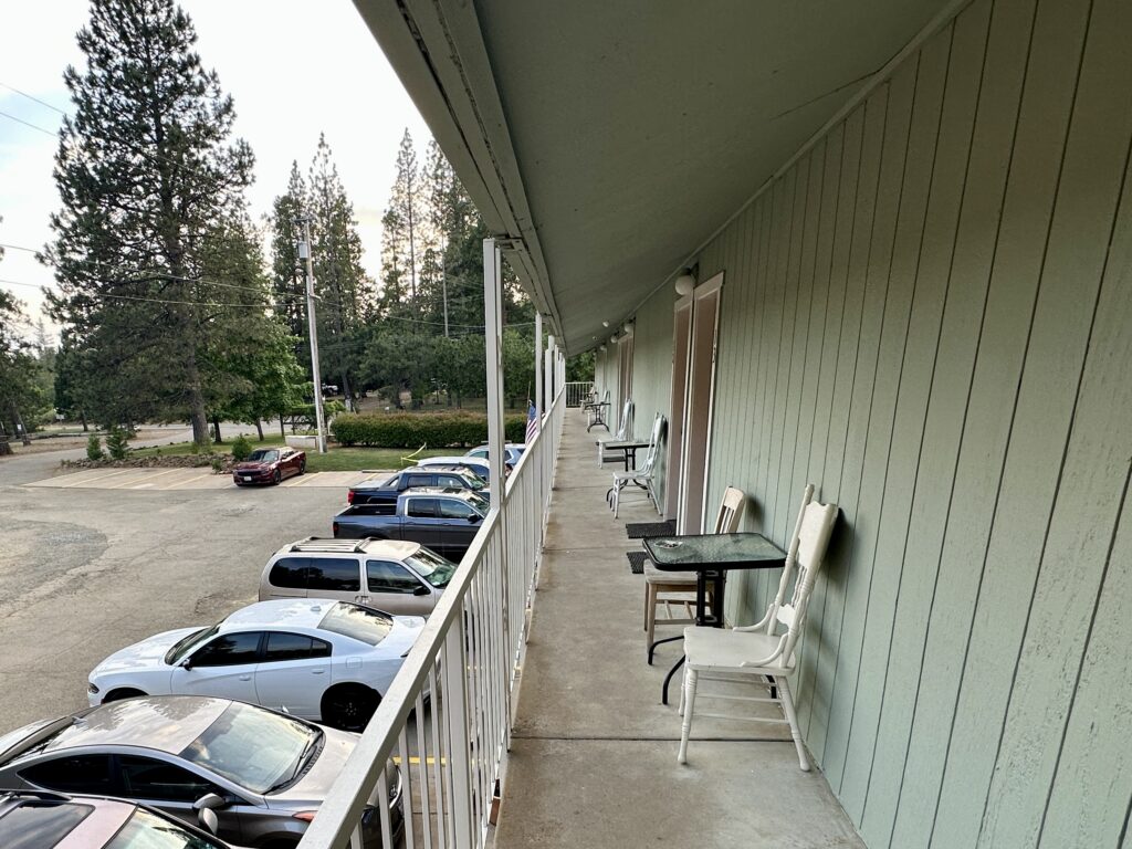
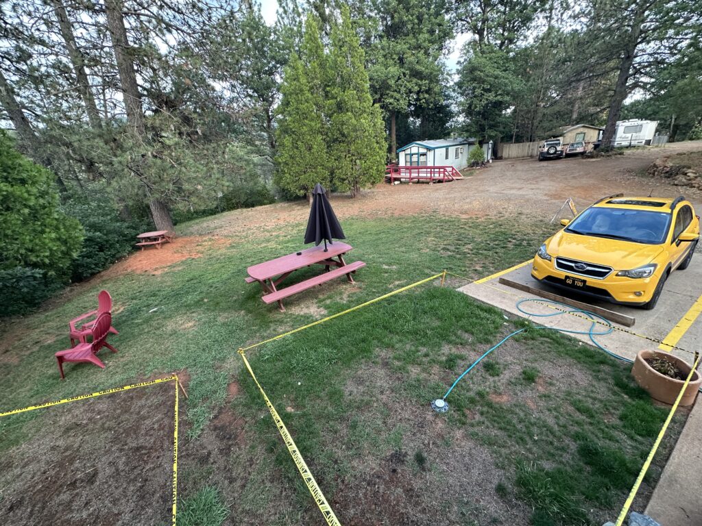
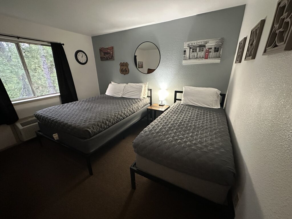
With the route question resolved, and several stickers in hand, I went off in search of pizza, and ultimately found exactly what I wanted. Having acquired my dinner I headed for Brownsville, and my motel. The drive was beautiful — more wildflowers, and some beautiful valleys with cows enjoying knee-deep pastures at sunset. Naturally, there is no place to pull over to take a picture.. And because it is not on the way to anywhere it’s refreshingly non-touristy. Just a rural area with rural things, like a sign posting a job for a “hired hand,“

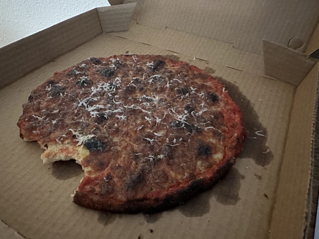
My plan for today is to drive from Brownsville to Placerville, via Lake Oroville, several gold rush towns, and Columbia State Historic Park. Right after I have my leftover pizza for breakfast, of course.
Also be sure to check out my post, California History Resources for Road Trips, where I share several excellent books/audiobooks, tours, videos, and websites.
About the Author — Linda Eskin
Linda Eskin began practicing Aikido in 2009, at age 46. From the beginning she was inspired to explore how Aikido is taught and learned. In addition to mentoring adults, and now teaching a weekly Focus on Fundamentals class for students of all ranks, she assisted in the children’s programs for over eight years.
Linda loves Aikido both from the technical perspective, and as a practice of awareness and embodiment. She is completing her forthcoming book, Aikido to Zanshin – 26 Essays on the Martial Art of Peace.
Linda’s passion is encouraging people to begin, and supporting new learners of all ages.
Linda trains with Dave Goldberg Sensei at Aikido of San Diego, in California, and holds the third black belt rank, sandan.


